Deqing, China – October 25, 2025 — Leading scientists, policymakers, and geospatial technology experts around the world gathered on October 24 at the Deqing International Convention Center for an in-depth dialogue on coastal ecosystem protection, part of the United Nations Geospatial Knowledge and Innovation Week 2025 (UN GeoNow 2025).
The special session, titled "Coastal Monitoring and Biodiversity Protection for a Better World," brought together around 100 participants from national geospatial agencies, research institutions, and international organizations to explore how cutting-edge satellite technology and geospatial data can safeguard vulnerable coastal ecosystems, including mangroves, in the face of climate change and urbanization.
Tackling Global Coastal Challenges
The dialogue, jointly organized by the International Mangrove Center (IMC) and the Asia-Pacific Space Cooperation Organization (APSCO) in collaboration with the UN Global Geospatial Knowledge and Innovation Centre (UN-GGKIC), focused on leveraging geospatial technologies to monitor, assess, and restore critical coastal habitats that serve as natural barriers against storms and support marine biodiversity.
In his opening remarks, Dr. Pengde Li, Director of the UN-GGKIC, highlighted the vital role of satellite monitoring in tracking coastal land dynamics. He noted that, while many satellites are capable of this task, there is still no unified international mechanism to ensure consistent global monitoring. Dr. Li emphasized that the meeting represents a step forward in the global effort to promote sustainable coastal and marine ecosystem management.
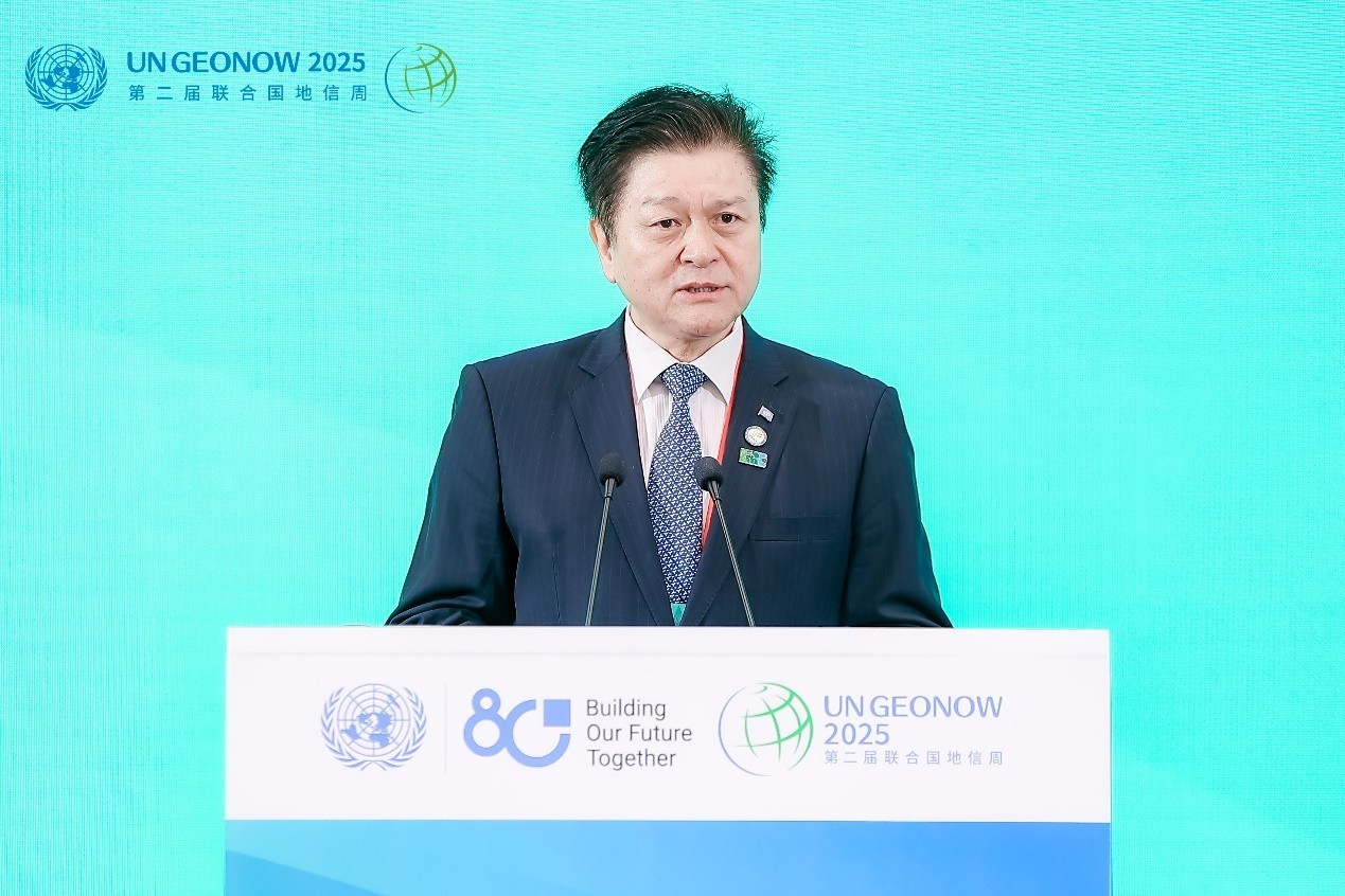
Photo 1: Dr. Pengde Li, Director of the UN-GGKIC
Representing the IMC, Prof. Daming Bao, Director General of the Interim Secretariat, reaffirmed the IMC’s commitment to global mangrove conservation. At COP14 of the Ramsar Convention, Chinese President Xi Jinping proposed the establishment of the IMC in Shenzhen. The IMC’s mission is to promote international cooperation and joint action in mangrove conservation, restoration, and sustainable use, while strengthening the implementation of the convention and other related environmental commitments. Its objectives focus on four key areas: promoting knowledge sharing and joint research; enhancing technology transfer, technical cooperation, and training; advancing education, communication, and public awareness; and building capacity and implementing pilot projects for effective mangrove conservation and restoration.
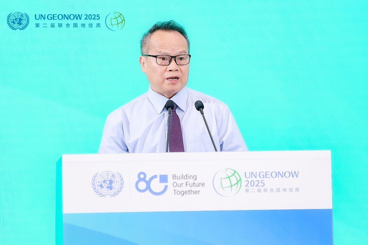
Photo 2: Prof. Daming Bao, Director General of the Interim Secretariat of IMC
Dr. Hui Jiang, Secretary-General of APSCO, underscored that we are living in an era of unprecedented global transformation and connectivity. She explained that satellite remote sensing is evolving beyond simple data sharing toward system-level collaboration and interdisciplinary integration. According to her, space technologies have become powerful catalysts for sustainable development and coastal protection. Over the past years, APSCO has been committed to building a collaborative space community across the Asia-Pacific region, exemplified by initiatives such as the Spectral Amazon Ecosystem Project in Peru and the Mangrove Watch from Space Project in Pakistan.
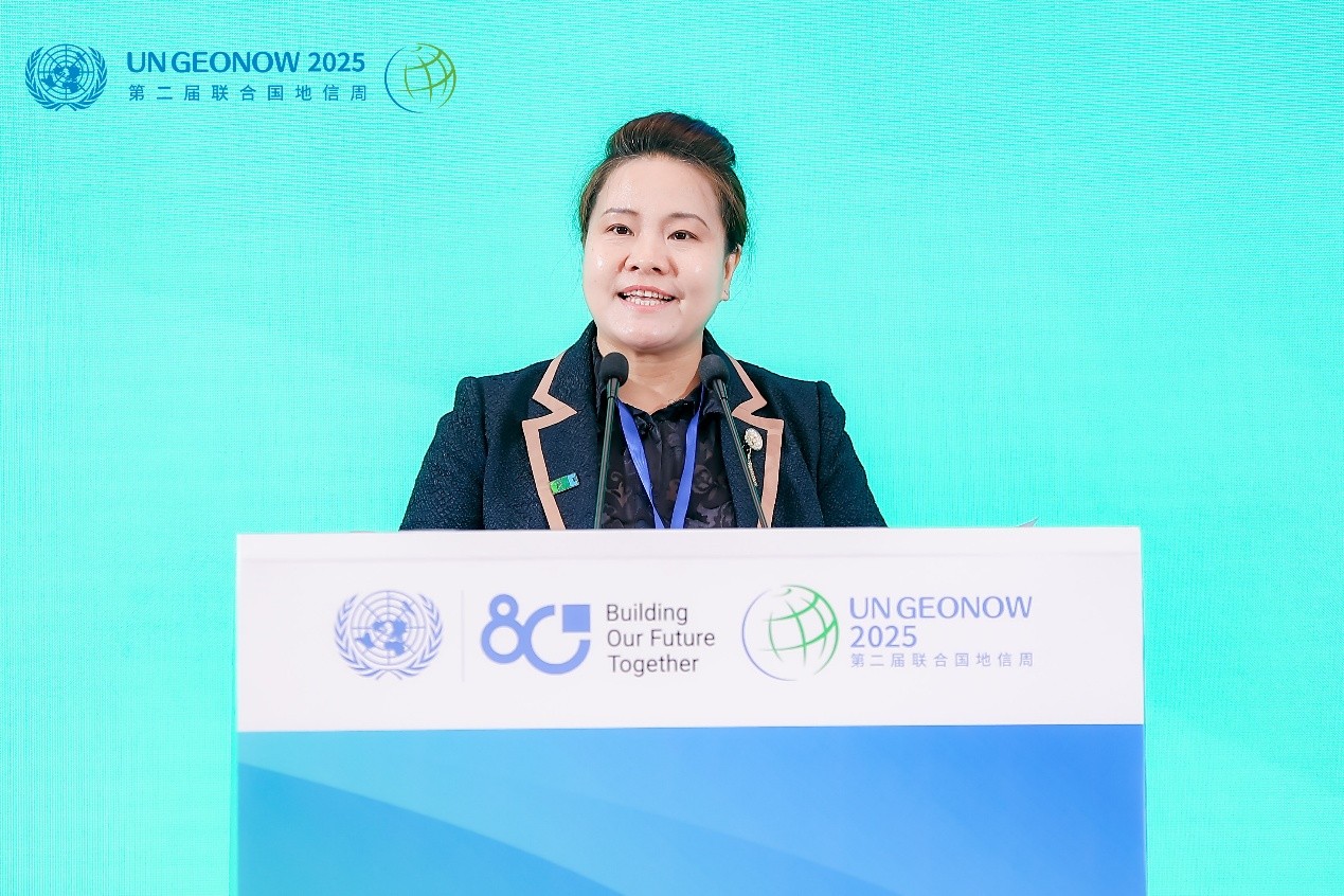
Photo 3: Dr. Hui Jiang, Secretary-General of APSCO
Innovative Solutions from Space to Shore
Chaired by Mr. Peng Peng, Director of the Interim Secretariat of IMC, five keynote presentations showcased the latest advances in Earth observation technology and remote sensing applications for coastal protection. Prof. Weiwei Sun, Dean of the Advanced Institute of Technology at Ningbo University, provided a comprehensive overview of global coastal zone ecosystem status, highlighting critical threats and opportunities for conservation.
Building on this overview, researchers from China's leading institutions presented breakthrough applications of satellite imagery, UAV technology, and ground-based monitoring systems. Prof. Ping Yin from the Qingdao Institute of Marine Geology demonstrated how Earth observation technology is being deployed for ecological protection. Prof. Mingming Jia from the Northeast Institute of Geography and Agroecology, Chinese Academy of Sciences, detailed recent advances in remote sensing for coastal wetland monitoring.
Expanding the scope of discussion, Prof. Hongsheng Zhang from The University of Hong Kong addressed the urgent challenges of protecting mangrove forests amid rapid urbanization and climate change, emphasizing the role of geospatial technologies in tracking forest loss and guiding restoration efforts. Dr. Atif Shahzad from Pakistan's SUPARCO presented advanced remote sensing techniques for monitoring Pakistan's coastal forests, which is an application case of APSCO Data Sharing and Service Platform.
Building International Cooperation Frameworks
The event also featured a roundtable discussion on “Geospatial Technologies Empower Scientific Monitoring to Advance Coastal Biodiversity Conservation and International Cooperation” brought together experts and practitioners from Cuba, Comoros, Madagascar, Jamaica, and China to explore how innovative geospatial tools can strengthen the protection, restoration, and sustainable management of coastal and marine ecosystems.
Hosted by Mr. Hernan Merino, Deputy Director General of Program Operation and Data Service Department of APSCO, the roundtable brought together with six leading experts who shared insights and best practices on the use of satellite, UAV, and ground-based monitoring technologies to address coastal biodiversity challenges and promote international cooperation. Discussion focused on future directions and key challenges for global mangrove and coastal monitoring, the integration of advanced geospatial data to enhance community engagement, and the role of transnational data sharing in improving conservation outcomes.
Mrs. Tahiry RAKOTOMAMONJY, Project Officer at the IMC Interim Secretariat, presented the experiences and challenges of multi-stakeholder cooperation in mangrove and coastal protection in Madagascar. She emphasized the importance of combining traditional ecological knowledge with modern monitoring tools to ensure sustainable management and local ownership of conservation initiatives.
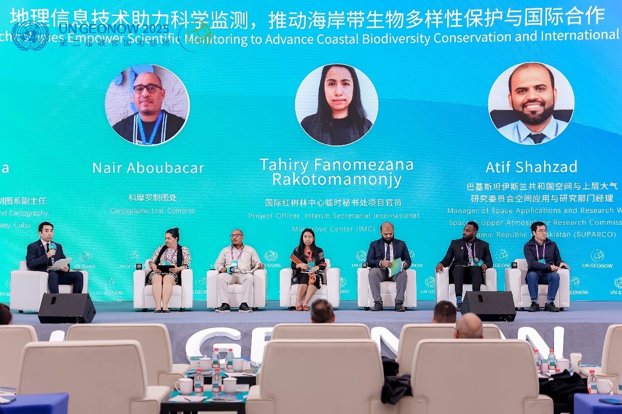
Photo 4: Roundtable discussion
Toward Actionable Outcomes
The dialogue concluded with a call to enhance cross-sectoral cooperation, scientific research, and policy innovation to protect the world’s fragile coastal ecosystems. Participants emphasized the importance of integrating geospatial information into decision-making processes to support adaptive management and climate resilience strategies.
By fostering innovation and cooperation under the UN framework, the dialogue contributed to advancing the objectives of the 2030 Agenda for Sustainable Development, and reaffirmed the shared vision of building a sustainable and resilient future for coastal and marine ecosystems worldwide.